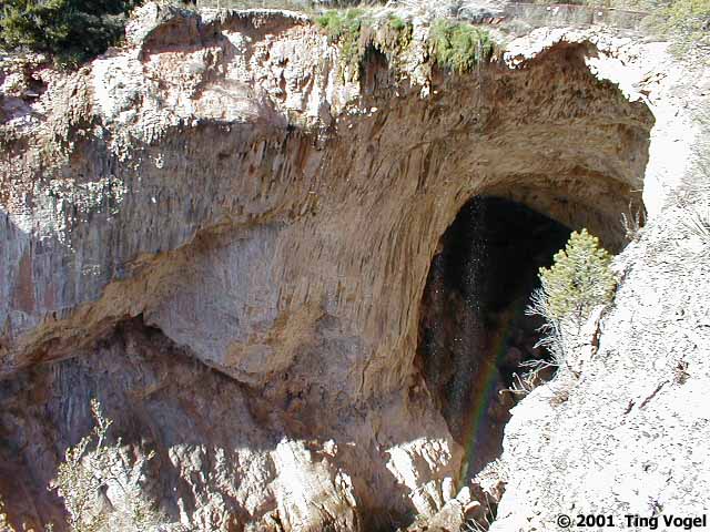
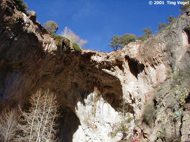
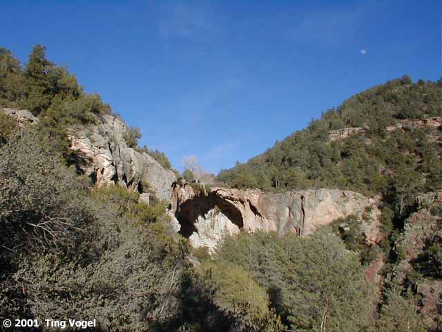
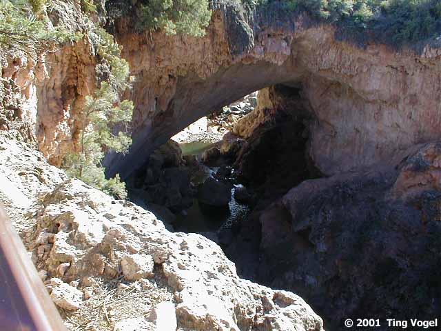
Tonto Natural Bridge State Park contains the world's largest natrual
travertine bridge, 400 feet long, 150 feet long, and 183 feet high above
Pine Creek. It is at an elevation of about 4500 feet from sea level, and
though it was in the low 70's on the day of our visit, there was plenty
of snow hiding in the tree-shaded areas. The bridge was discovered by a
prospector, David Gowan in 1877 while fleeing hostile Apaches.
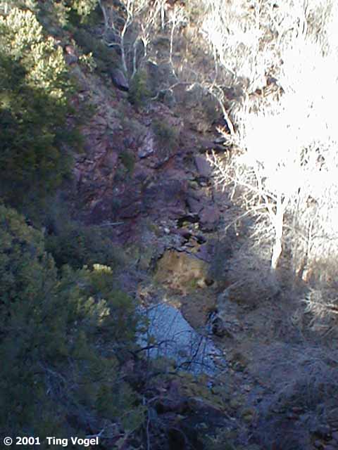
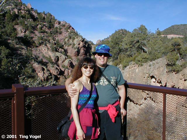
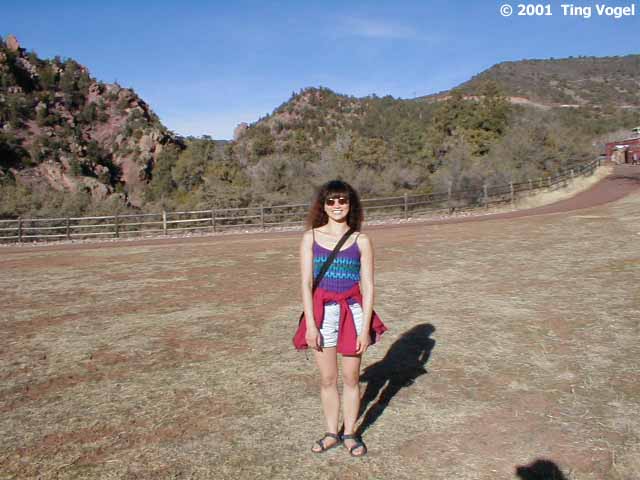
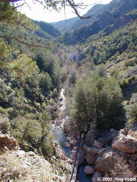
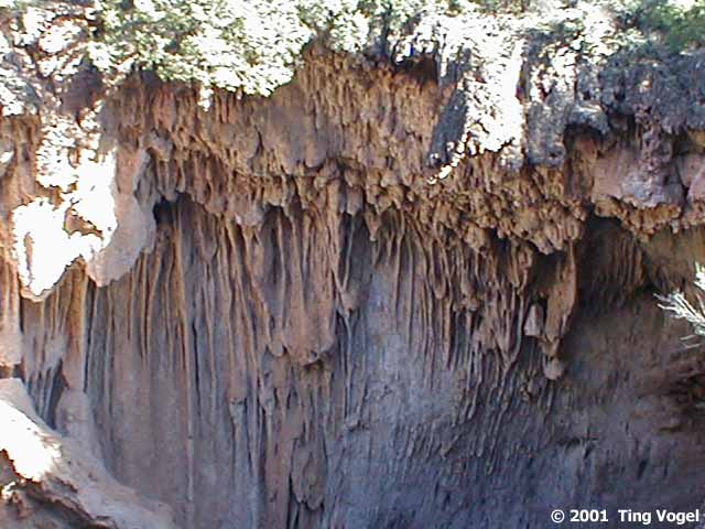
We checked out the bridge from the four scenic viewpoints at the
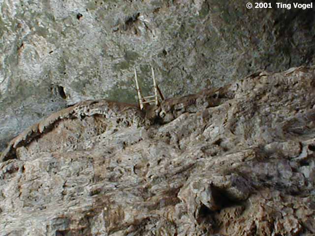
top. From one viewpoint, we could look across at the stalactites at the
top of the bridge, which reminded me of petrified tree roots. Afterwards,
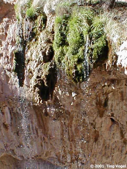
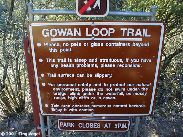
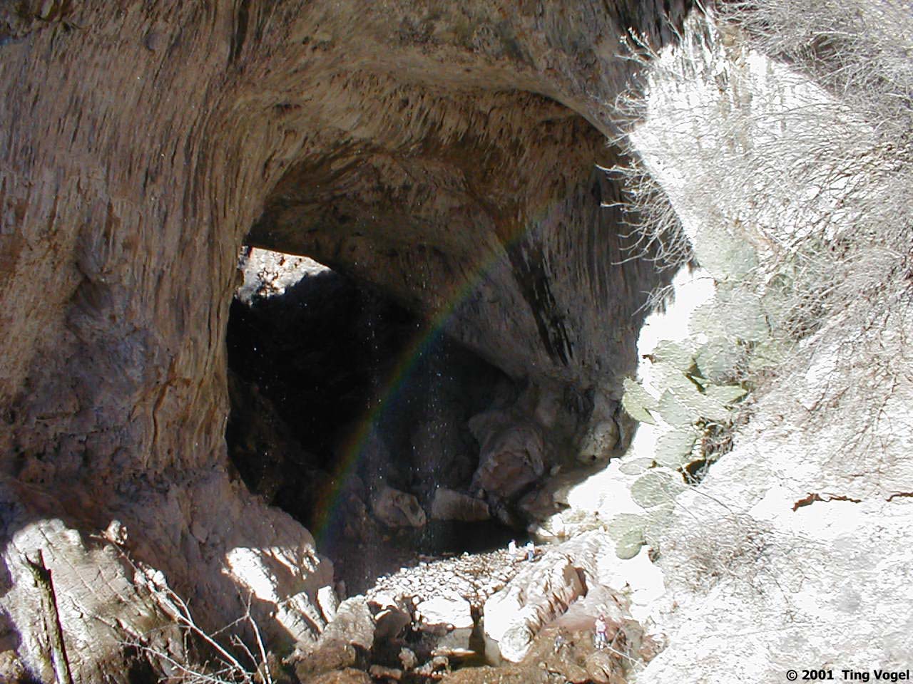
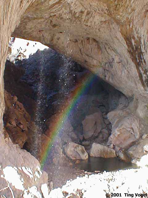
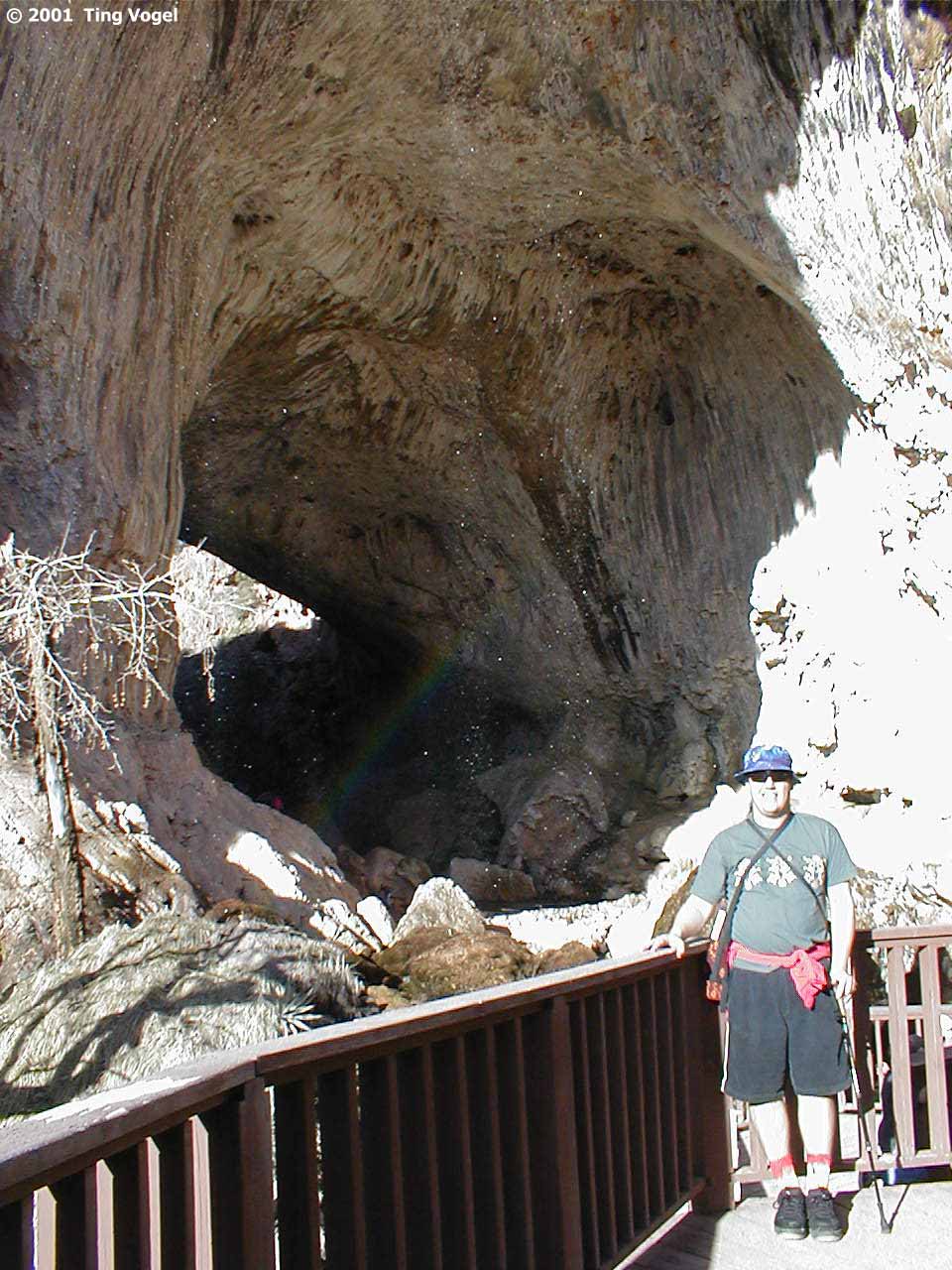
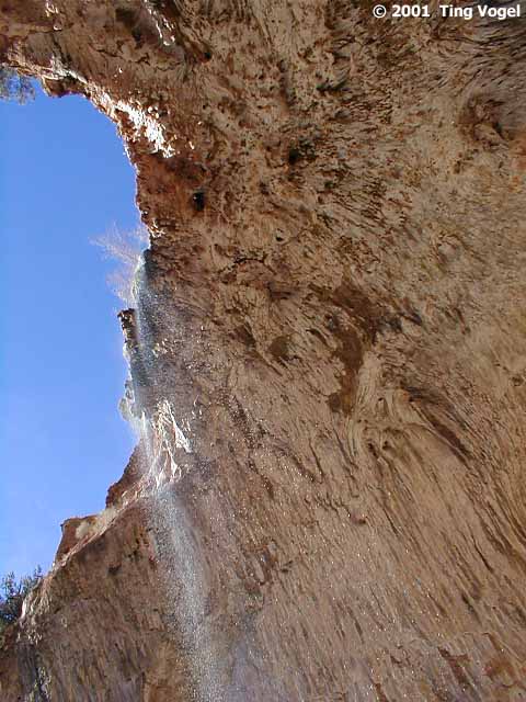
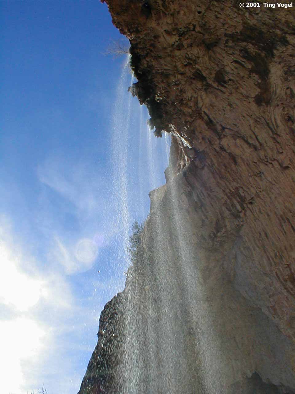
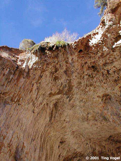
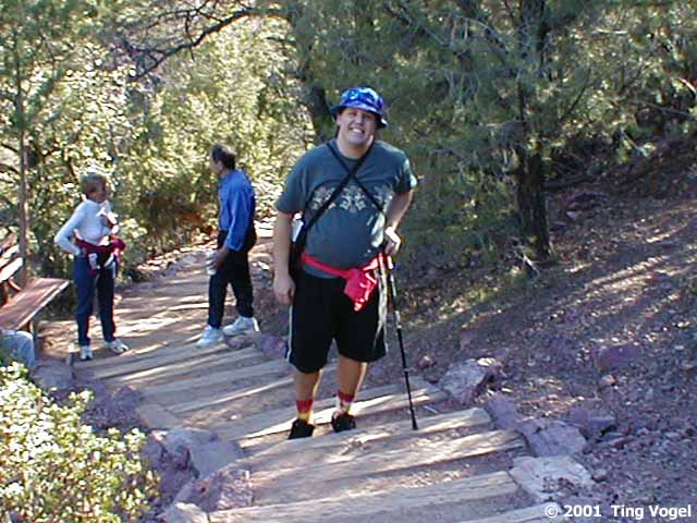
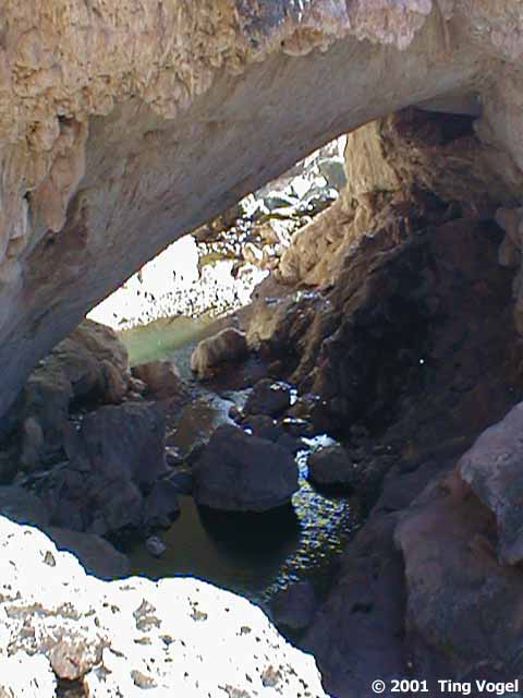
we scrambled down the steep Gowan Loop Trail. A rainbow arched across the
opening under the bridge. The colors danced in varying intensity as we
descend. Water trickling from above created a veil across the opening.
Looking back downstream, the water shimmered like a delicate beaded curtain
in the bright afternoon sunshine.
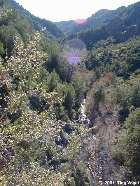
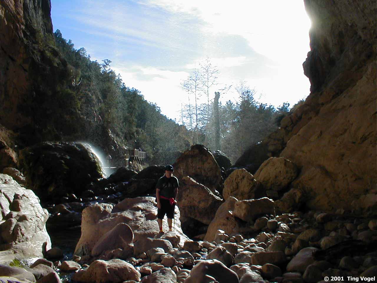
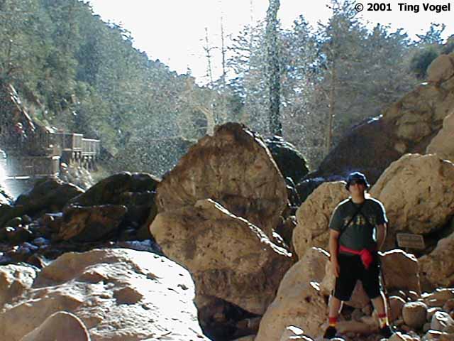
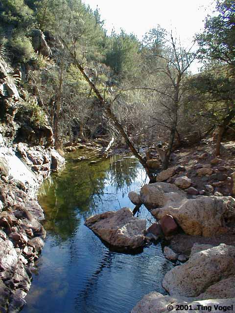
Once we reached the bottom, we began hiking upstream, but a grouchy
ranger waiting under the far side of the arch informed us that we were
too late to start our trek, and that the trail upstream was closed. Obviously,
someone is not psyched to go after stranded hikers in the dark.
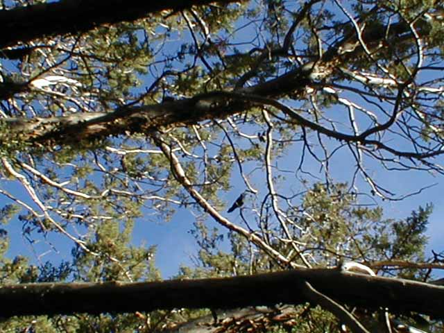
Hiking back up, we were closely watched by a group of ravens, but
they never let us close enough for a good picture.
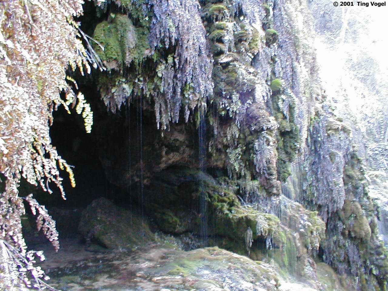
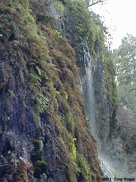
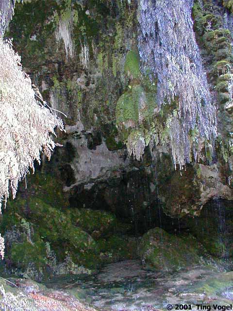
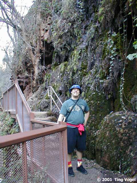
With our initial hike plan foiled, we hustled over to the Waterfall
Trail to squeeze in more hiking before the park closed. This trail turned
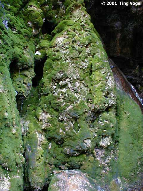
out to be steep and extremely short. At the bottom, fern grottoes lined
the side of the path and lichen grew abundantly on the rocks. The waterfall
was no more than a trickle down the hillside.
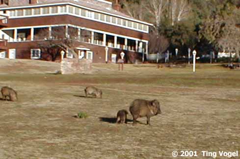
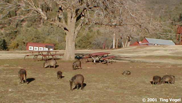
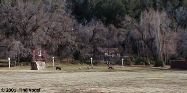
Back up on flat ground, the javelina troop was still grazing in the
large meadow below the ranger station. We stalked them a bit, but they
wouldn't let us any closer than 20 or 30 feet.
We walked back to our car to find a ranger sitting in his truck at
the other end of the parking lot, waiting to shoo us out...we left at 5:04
PM, hope he didn't mind waiting too much.
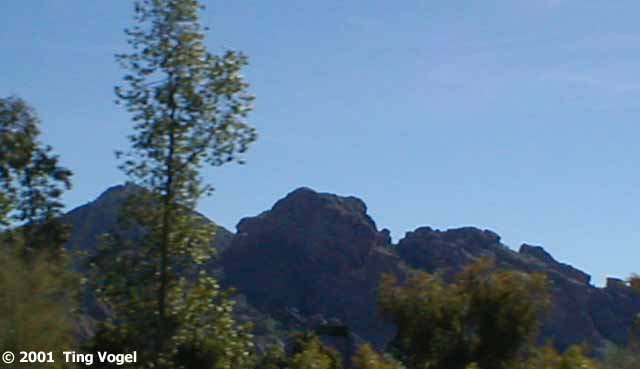
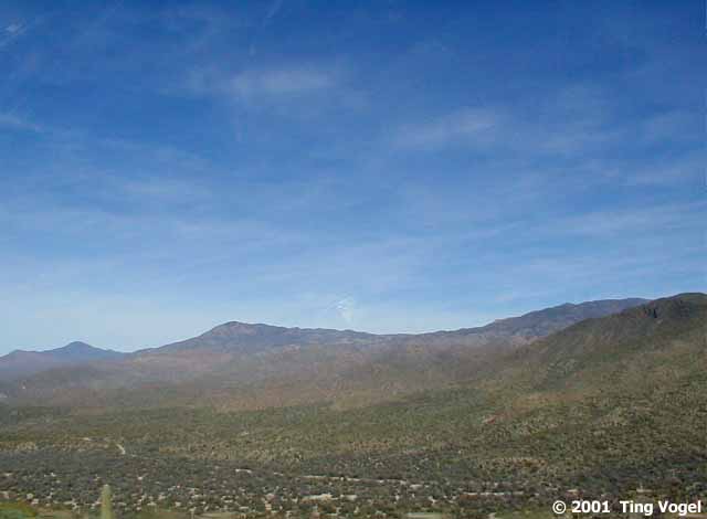
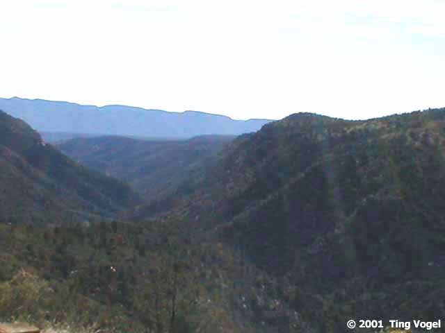
After leaving the park, we continued North on SR87, climbing another
2000 feet into the mountains before cutting back over to I-17 via the 30-odd
miles of SR260 leading to Camp Verde. From Camp Verde, we stayed with the
Interstate all the way back to Scottsdale. Along the way, we stopped at
a rest stop called Sunset Vista, but it was too dark to see anything.
|


 ~
~