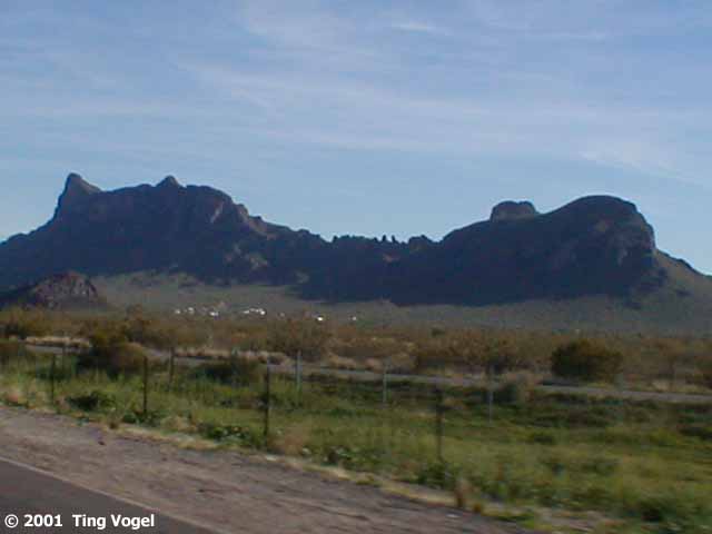
From the Casa Grande Ruins, we drove south to Picacho Peak State
Park. "Picacho" means "peak" in Spanish, so it's the "Peak Peak". In 1862,
Picacho Peak was the site of a Civil War battle between Union soldiers
from California and Confederates from Texas.
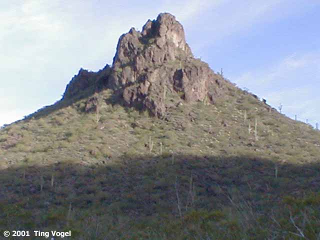
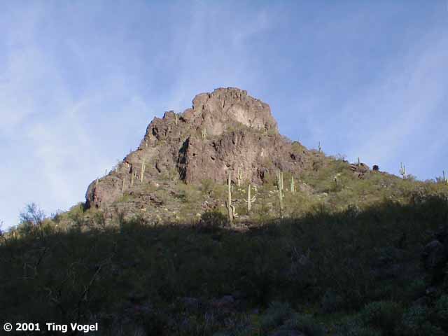
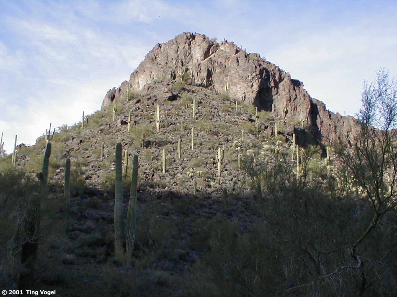
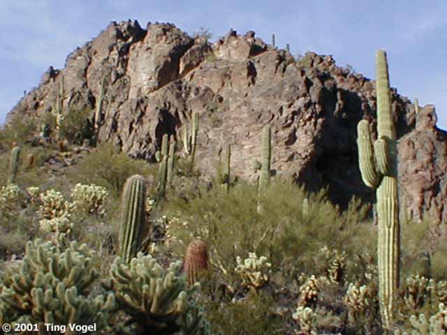
Even though Picacho Peak resembles a volcano, it is really a faulted,
tilted, lifted, and eroded slab formed from lava flows and granite intrusions.
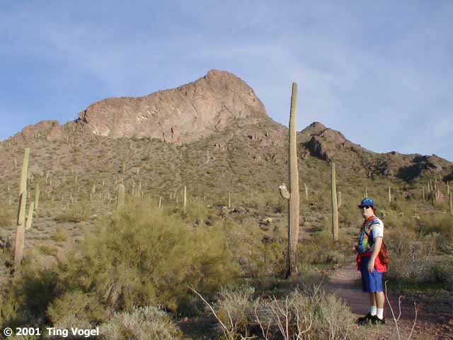
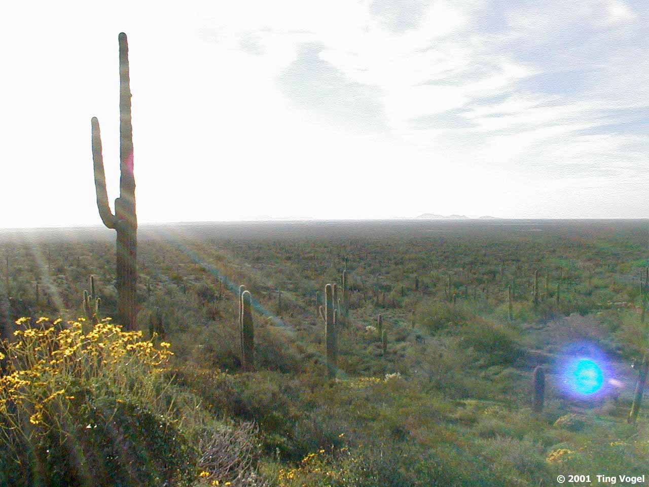
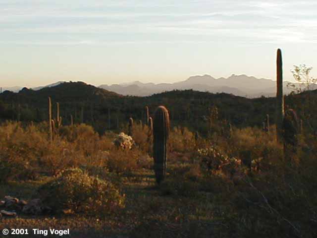
It's about 1500 feet tall, and stands more or less alone in the desert
plain, right next to I-10 about 35 miles north of Tucson.
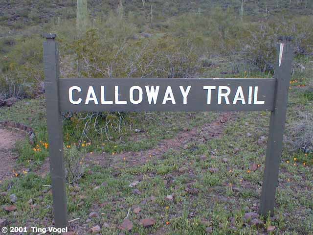
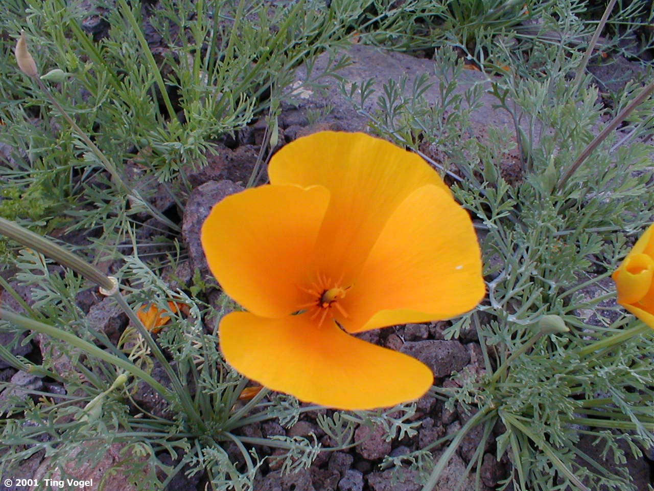
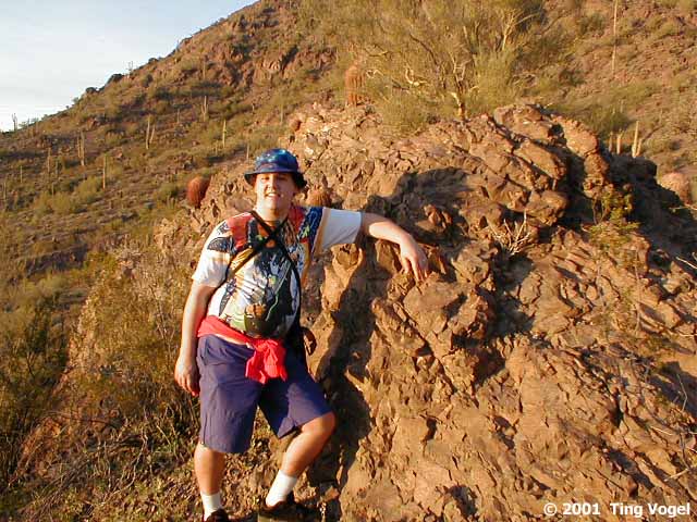
We started our hike on the Calloway Trail. The trail is lined with
beautiful California Poppies although since the poppies are in Arizona,
they are probably Arizona Poppies now. After all, immigrants do assume
the identity of the locale they immigrated to! The Calloway Trail turned
out to be a fairly steep out-and-back jaunt up to the notch between the
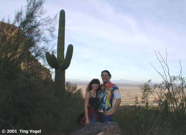
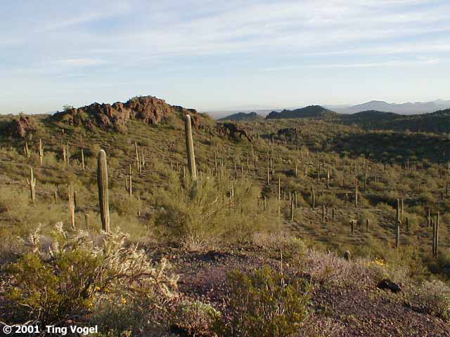
main peak and the spikier subsidiary peak to the east. From the benches
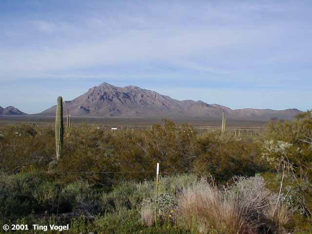
at the end of the trail, there was a sweeping desert vista, with few signs
of civilization except for the Interstate and parallel train tracks.
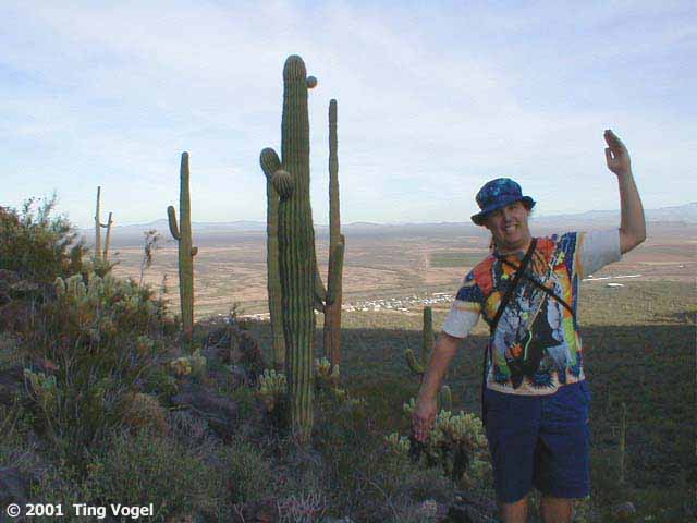
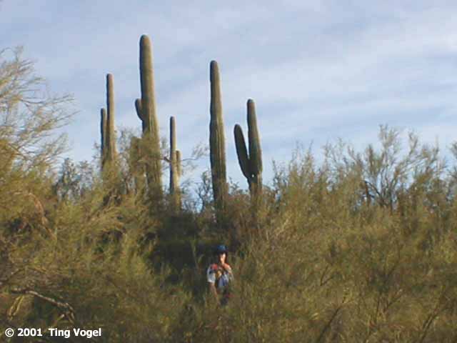
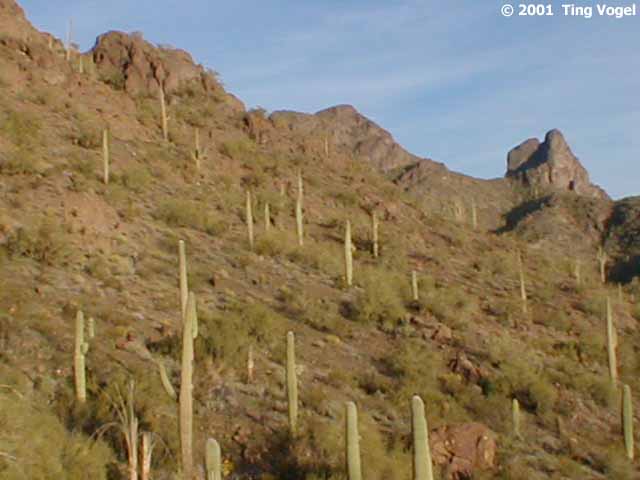
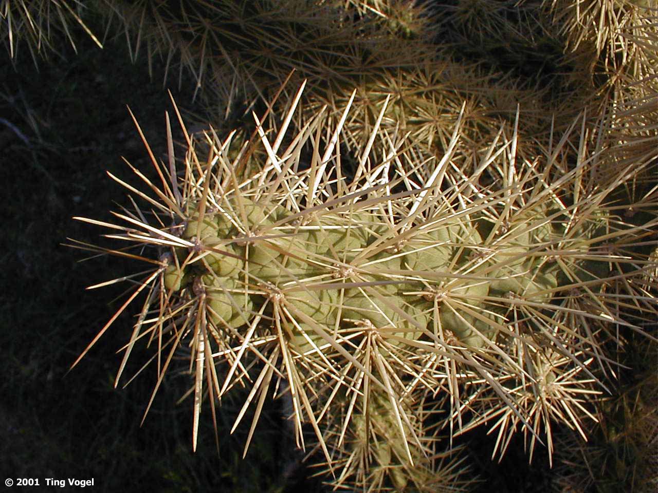
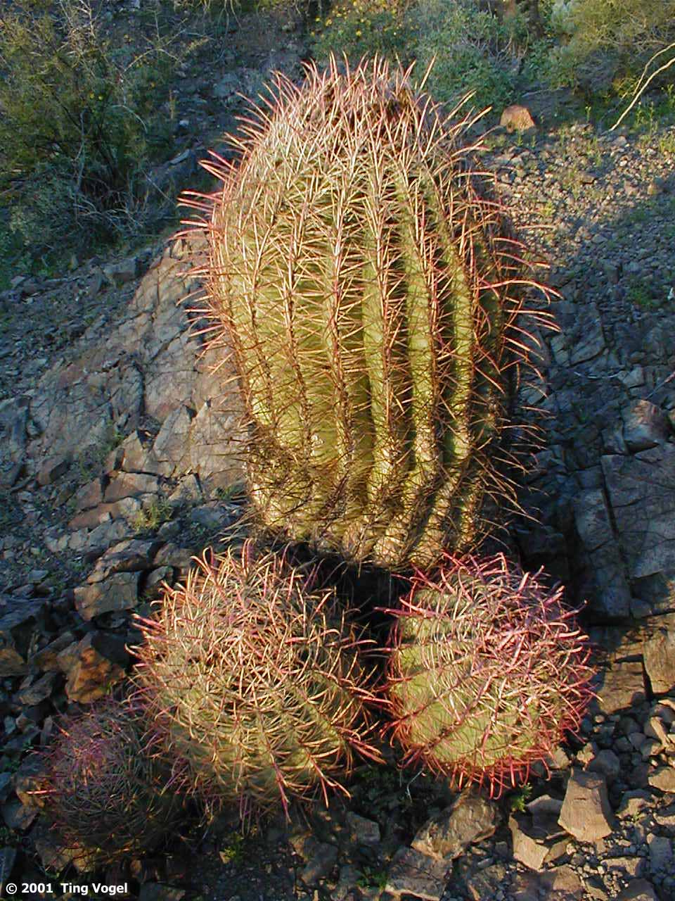
Cacti lined the mountainside and the fields as far as the eye could
see in a seemingly endless march towards an invisible battle. Perhaps as
the Queen of the Amazons turned her lovers into trees, so it seems some
unknown force may have turned those soldiers from so long ago into sentinel
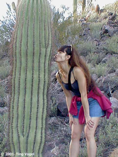
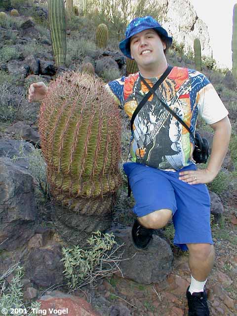
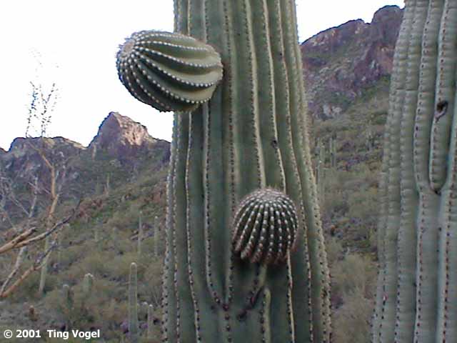
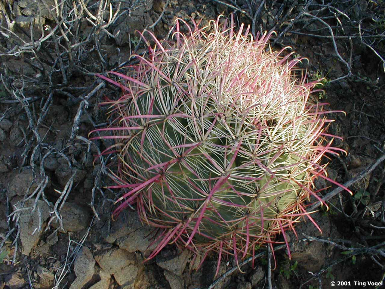
cacti. From up close, every cactus looks different, like snowflakes! Some
seem to reach their limbs towards the heavens in eternal rejoicing. Others
sit forlorn in hopeless abandonment, doomed to spend eternity sitting on
the hillside. Some cacti clustered around each other in social groups.
Others stand alone in reflective solitude as if pondering the fate of the
world. After completing our trip along the Calloway trail, we drove around
to the far west side of the peak to hike the aptly named Sunset Trail.
At the base of the Sunset Trail there were several nicely constructed
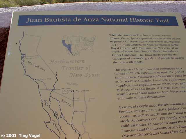
stone and wood Mandanas. We stopped for a brief snack and read the historical
marker about the Juan Bautista De Anza Trail leading across the desert
plain (I-10 is the modern version of this route) towards California.
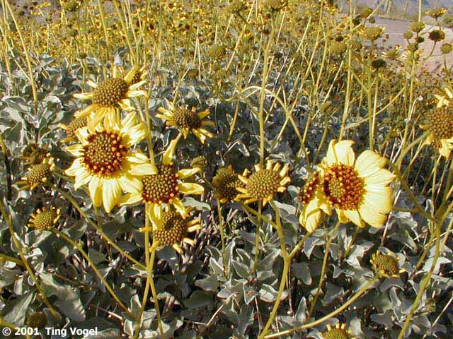
Yellow flowers spread in a golden carpet along the side of the Sunset
Trail. Up close, they look like mini-sunflowers. Cacti continued on their
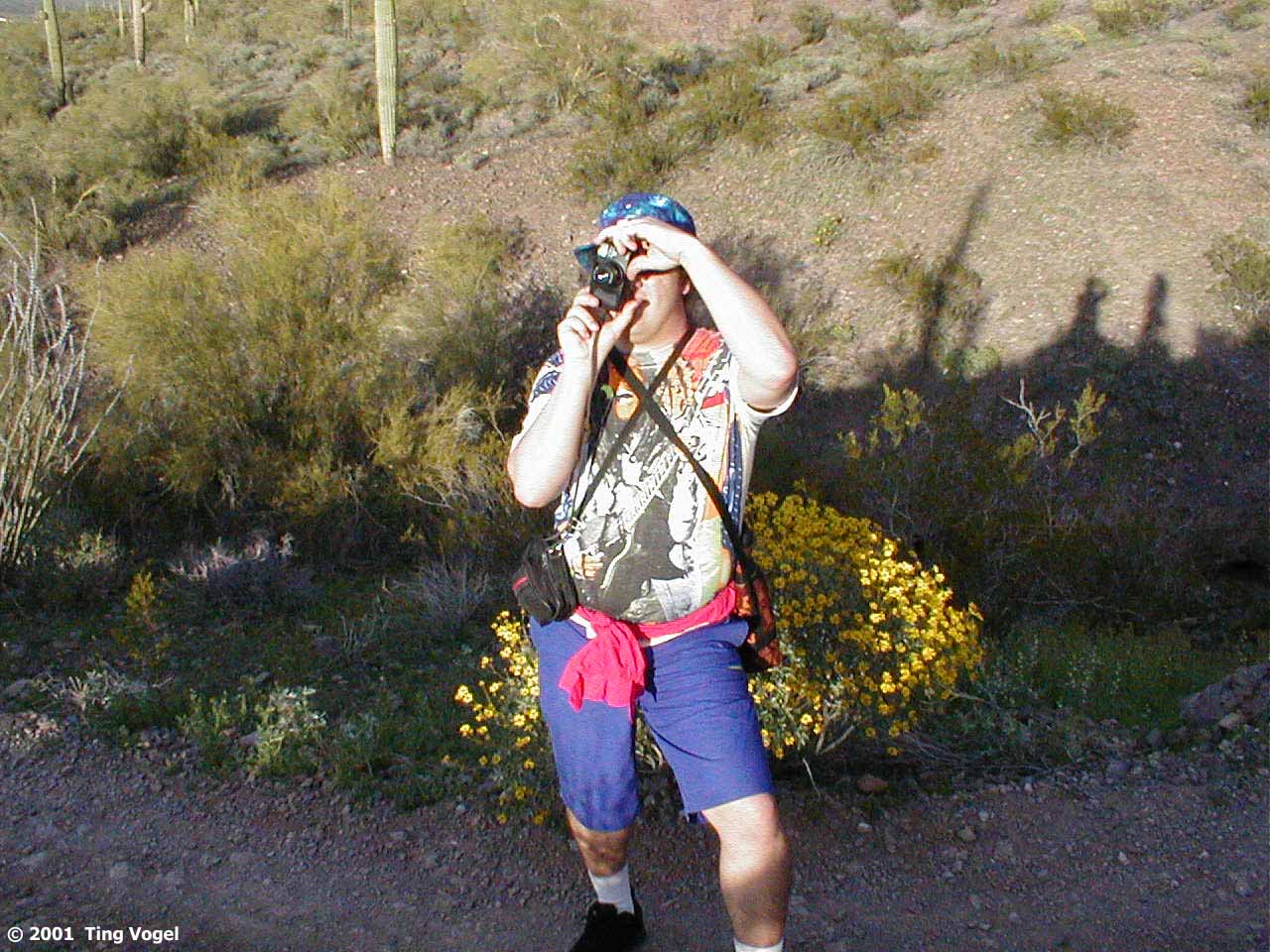
never-ending march along the fields and hillsides. At one point, Randy
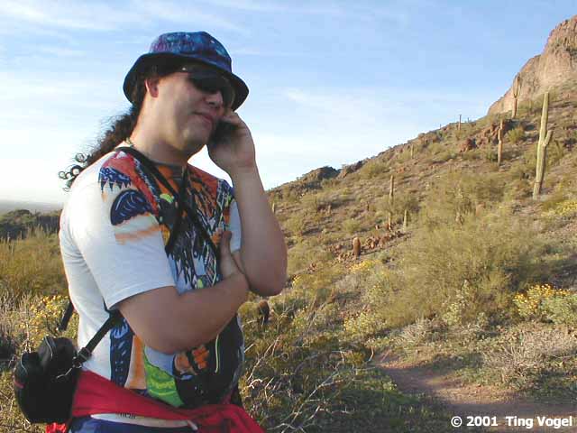
remembered he had promised David Gans that he would make a pledge to KPFA.
To his surprise, the cellphone signal was at full strength along the mountainside.
Must have been a cell phone antenna disguised as a cactus up there somewhere.
A ranger on the lookout for a couple of lost kids came by, and we
turned back to follow him out as the sun started to set. After having been
caught after dark hiking down the Yosemite falls trail on Christmas Eve
one year, we've been very conscious of time and light limitations to our
hikes, but not so much so as to make sure that we always carry flashlights...
|